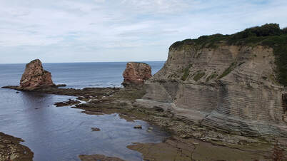
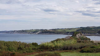
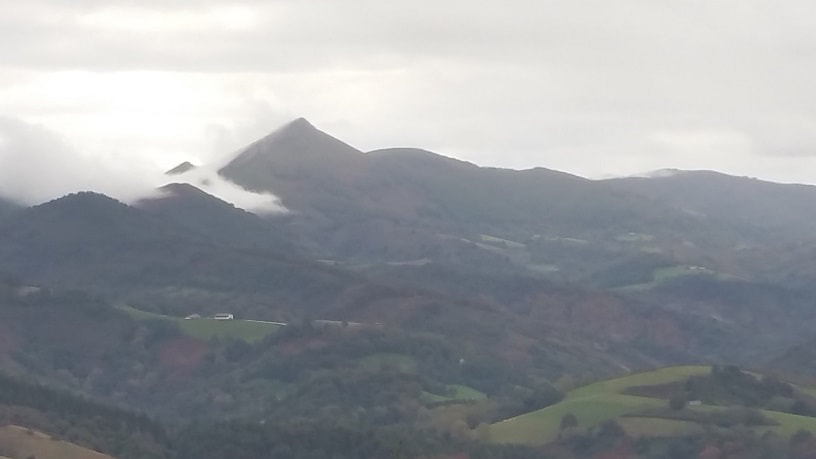
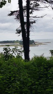
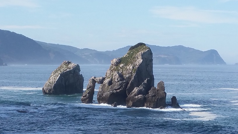
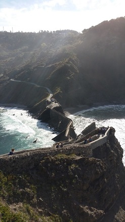
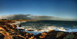
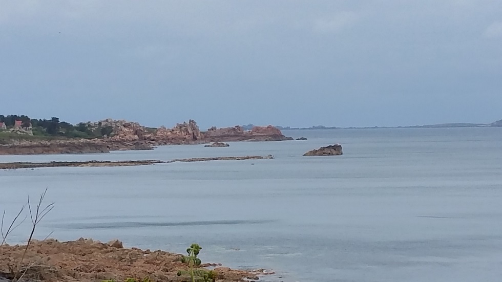
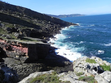
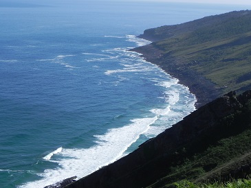
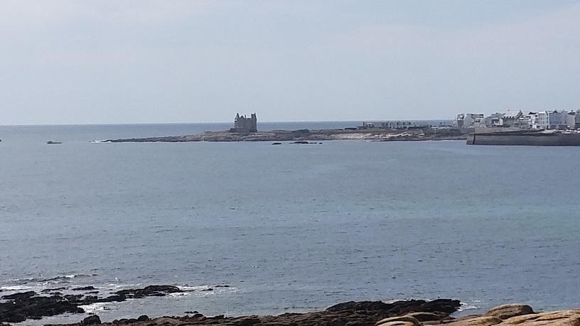
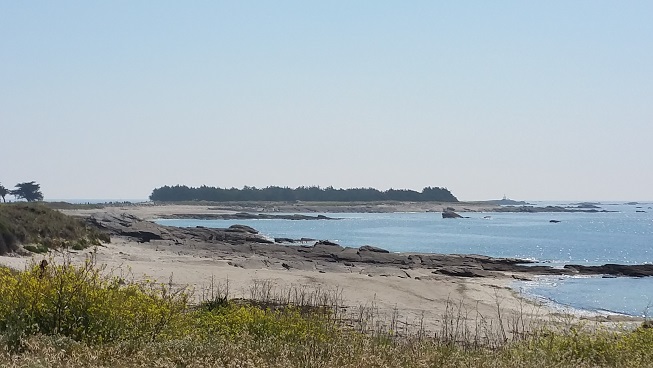
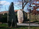
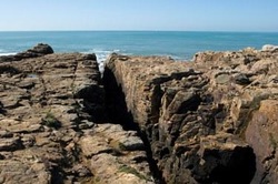
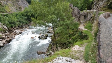
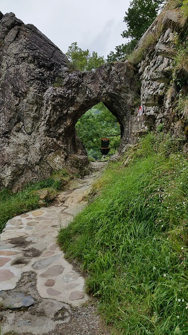
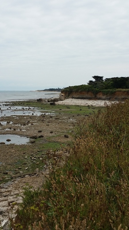
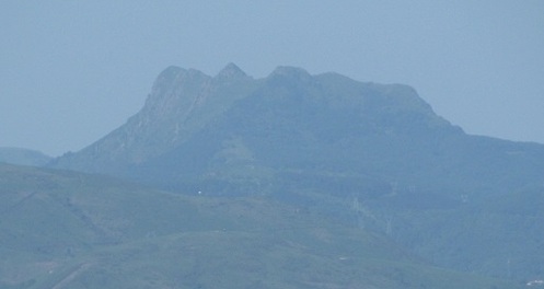
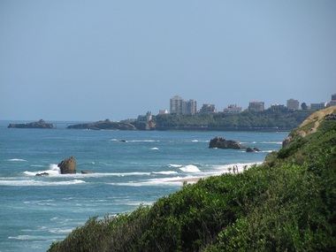
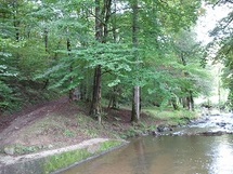
 Les Deux Jumeaux (two twins) and flysch seen from the cliffs
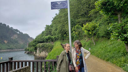
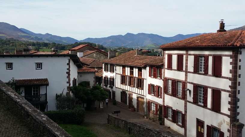
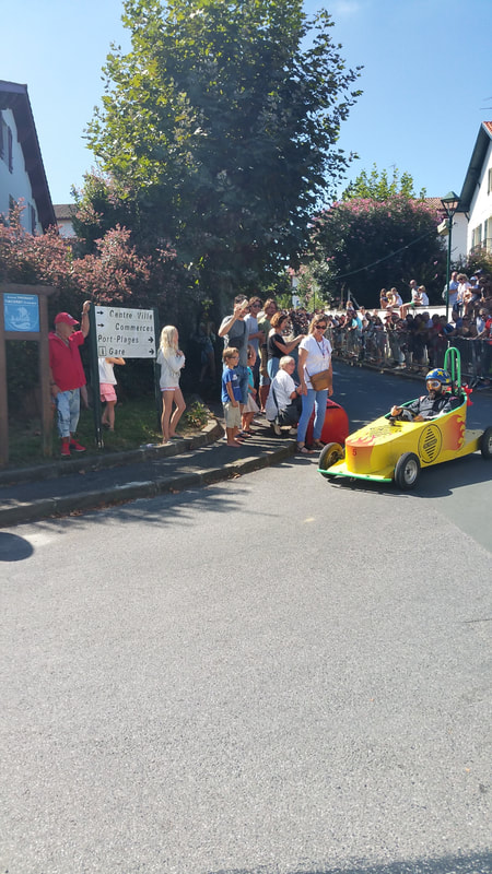
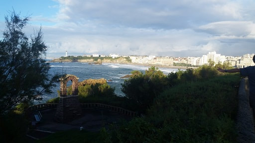
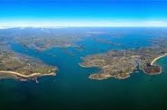
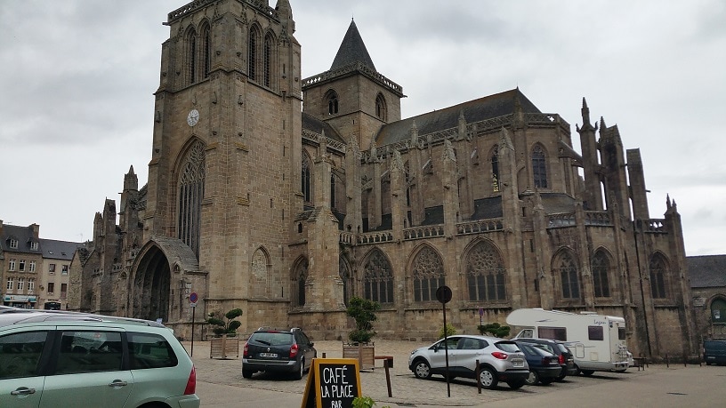
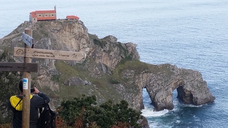
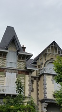
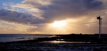
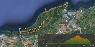
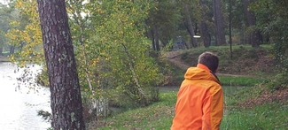
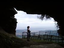
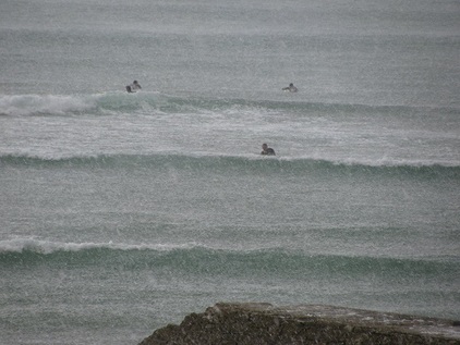
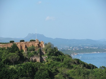
 It's mid-October, 81 degrees with 30-40 mph offshore winds and no surf. What should we do? How about a visit to the Chateau-Observatoire d'Abbadia, a spectacular edifice overlooking the ocean near the border town of Hendaye, France?
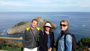
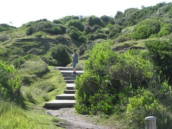
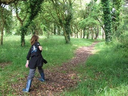
After a great tour where we learned about its former owner, Antoine d'Abbadie, a 19th-century scientist/scholar who spoke 14 languages and built the observatory, Karen and I decided to take a hike on a part of the Sentier Littoral (Coastal Trail) we hadn't seen before.
After a great tour where we learned about its former owner, Antoine d'Abbadie, a 19th-century scientist/scholar who spoke 14 languages and built the observatory, Karen and I decided to take a hike on a part of the Sentier Littoral (Coastal Trail) we hadn't seen before.
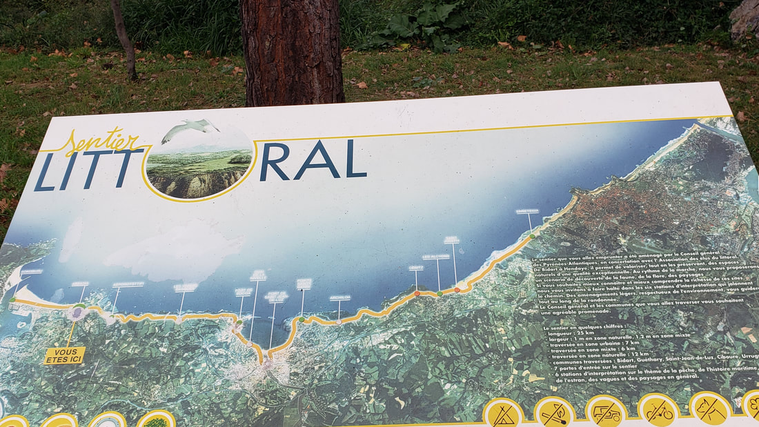
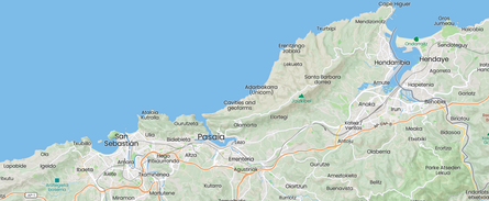
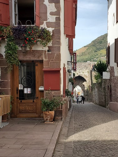
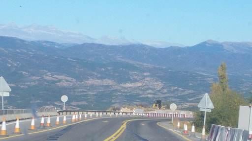
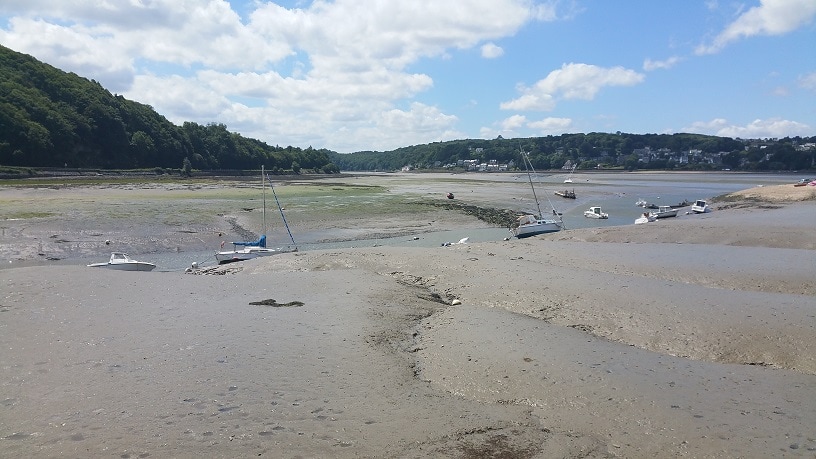
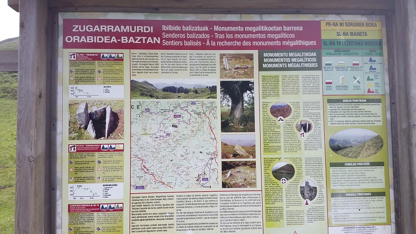
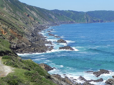
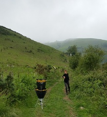
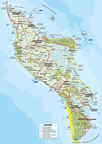
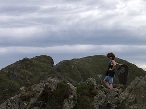
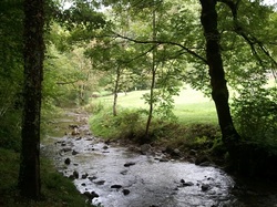
The Sentier Littoral runs about 25 km (~15.5 miles) from near Bidart in the north to Hendaye in the south. And actually, it continues in Spain as a different set of trails. Most of the Sentier Littoral is wild untamed single-track along the high cliffs overlooking the Atlantic, though there are some parts that require you to traverse village streets. For more on this remarkable trail, check out my previous posts: No Surf - Time for the Sentier Littoral and Sentier Littoral - North through Bidart. This new (for us) part just north of the main beach in Hendaye may be the most spectacular and least travelled section.
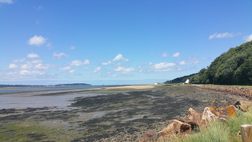
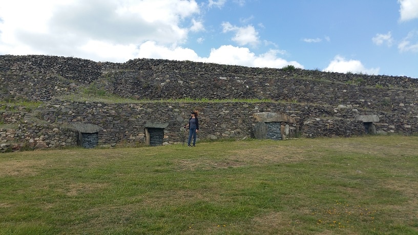
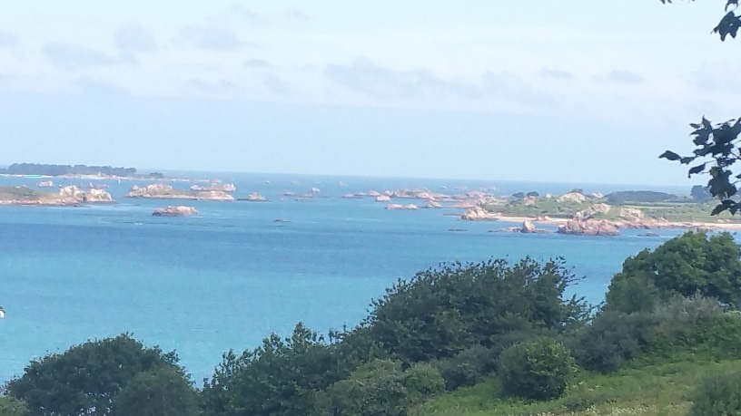
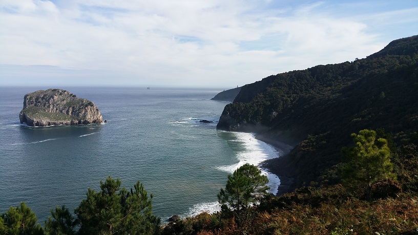
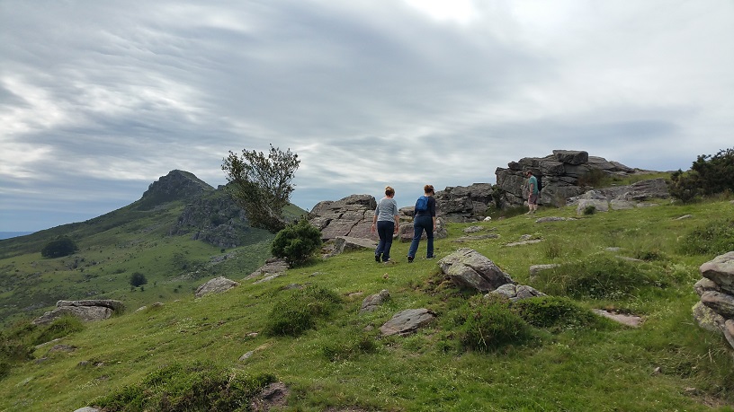
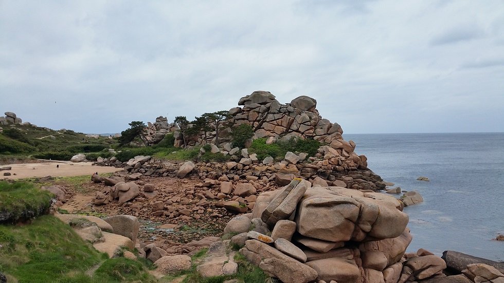
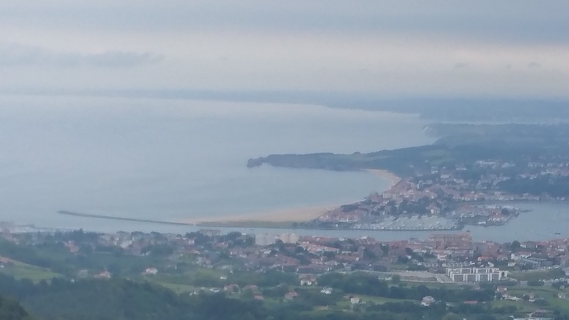
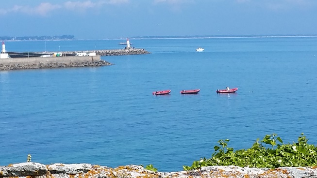
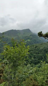
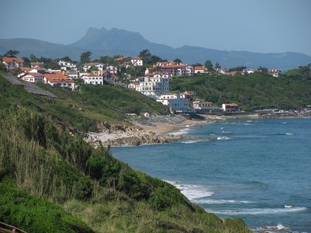
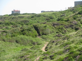
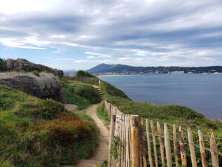 One of several bunkers with the Spanish town of Hondarribia and the Jaizkibel mountain across the bay.
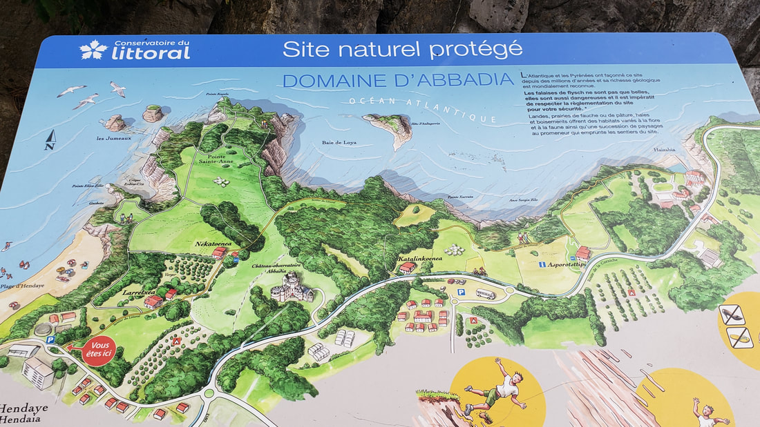
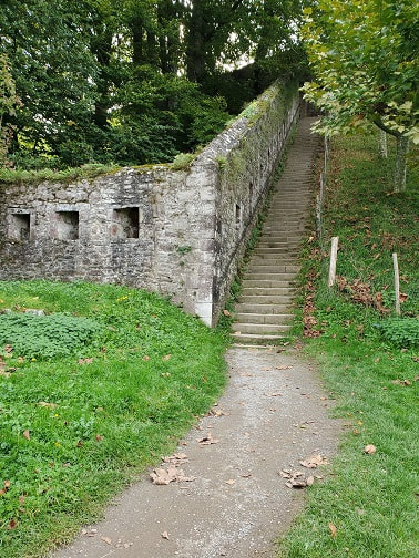
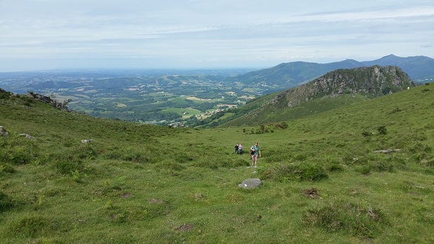
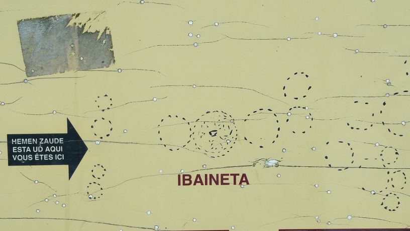
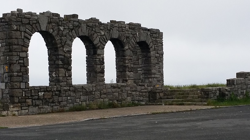
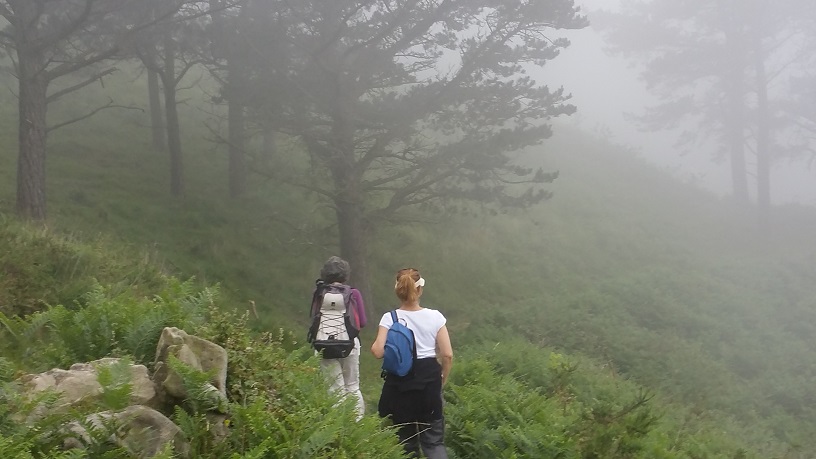
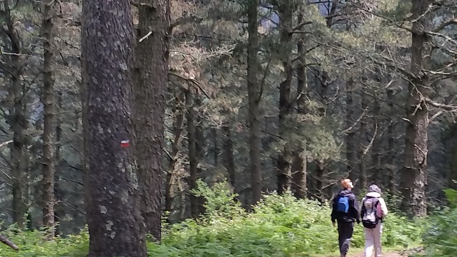
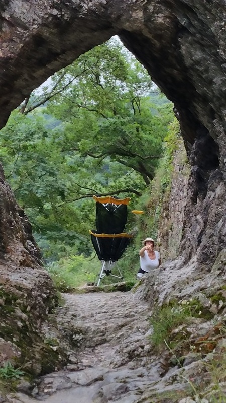
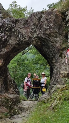
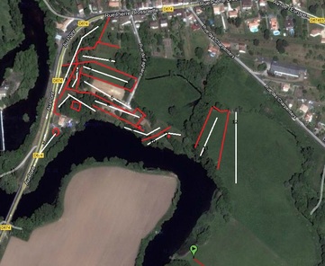
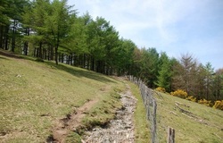
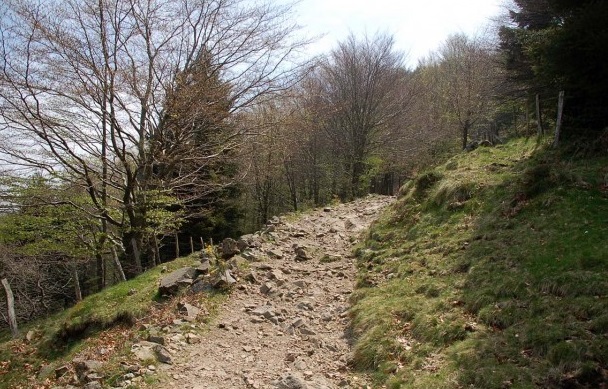
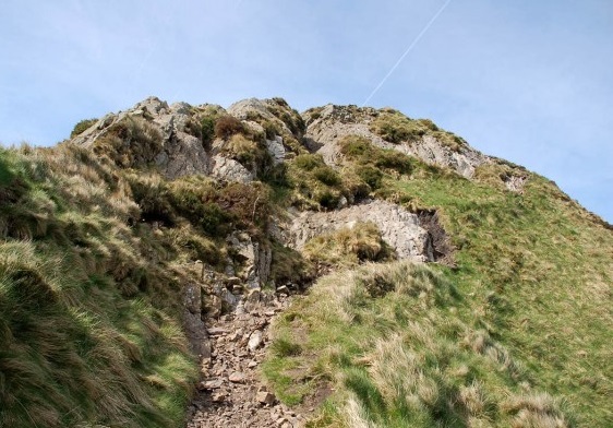
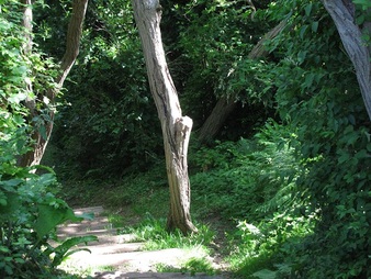
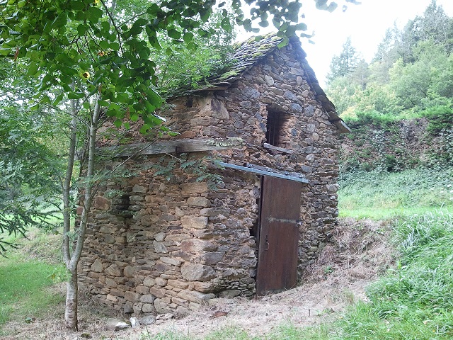
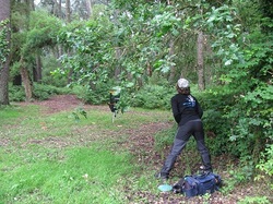
 Starting on the trail on the south west end of the Abbadia estate (see Vous êtes ici on the map above), the trail is flagstone for the first half mile or so. From that point on, you can choose one of numerous single-track trails which lead you to and along the cliffs or across open fields or through small forests on the property. We chose the first possible left next to a former farmhouse, and reached the edge of the cliffs above the main beach after a few minutes of walking. Continuing along the cliffs we passed several WWII bunkers. While most of the bunkers along the other parts of the Sentier Littoral are tightly closed up, on this part, if you want to see the interior, you can certainly enter. Surprisingly, while they're crumbling, you don't see any tagging or detritus.
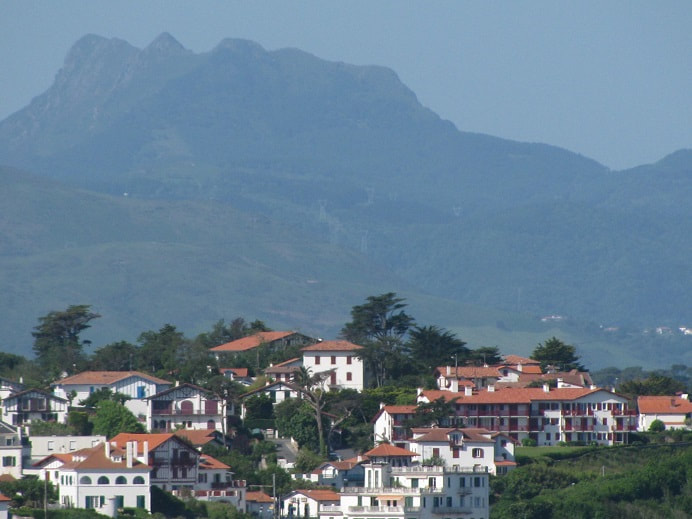
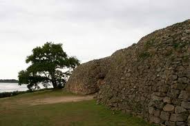
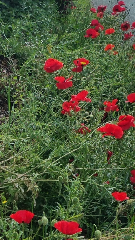
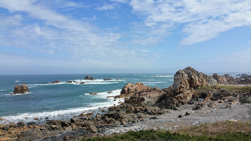
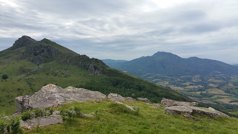
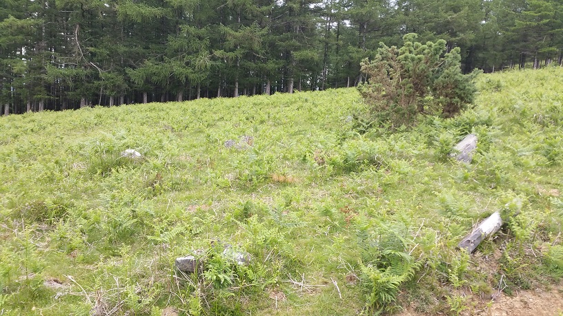
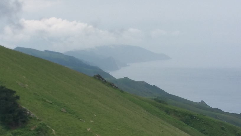
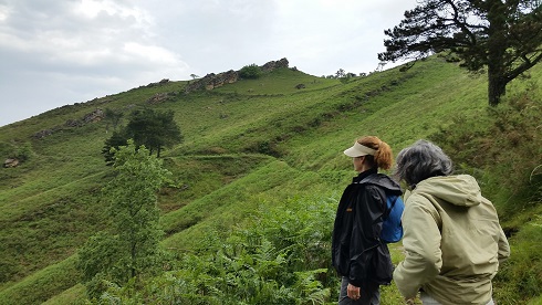
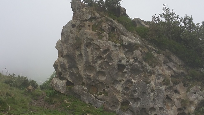
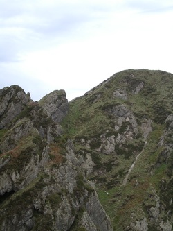
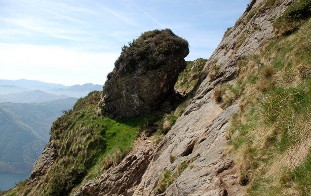
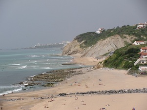
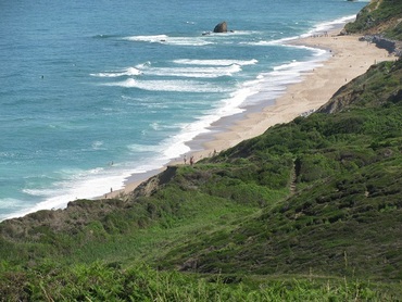
If you follow the trail along the cliffs, you'll note the impressive rock formations called flysch. This is a sedimentary rock which in many parts of the coastline has been twisted and turned into unusual shapes. Along this stretch, they're much more uniform (see the picture of Les Deux Jumeaux at the top).
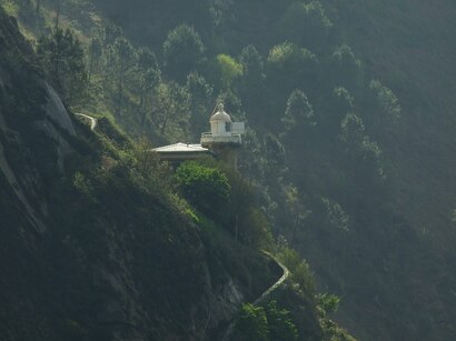
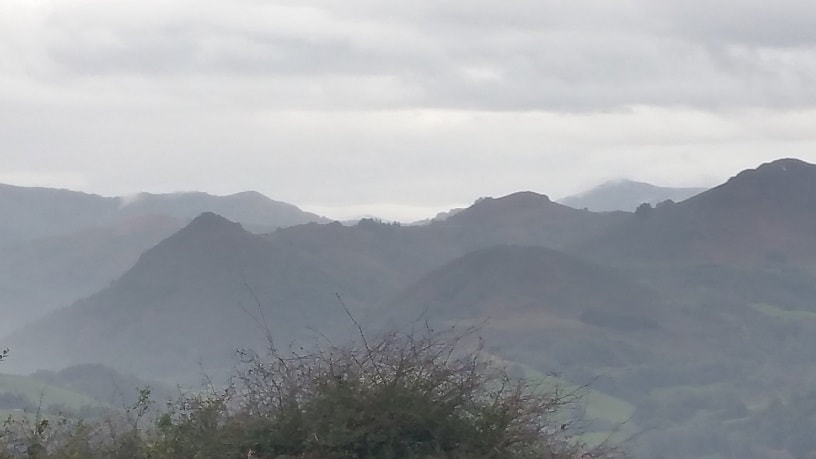
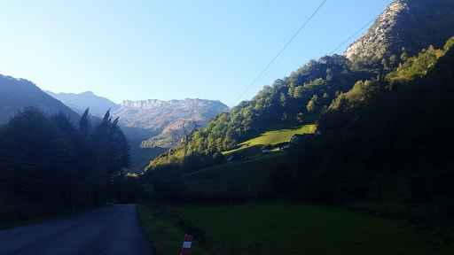
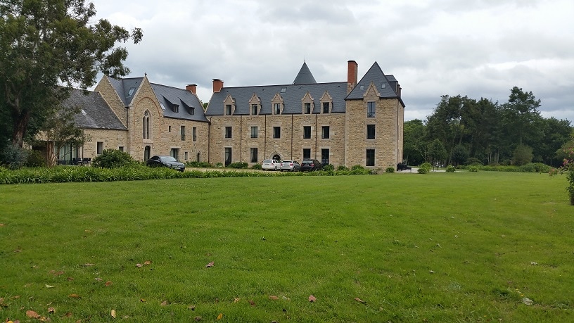
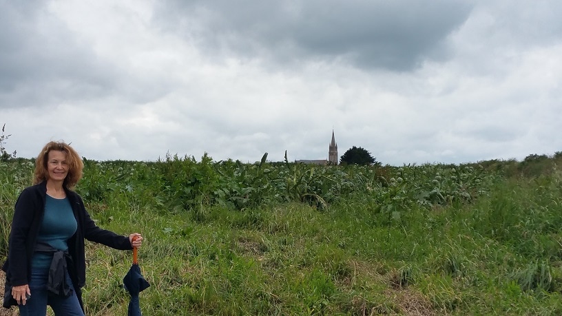
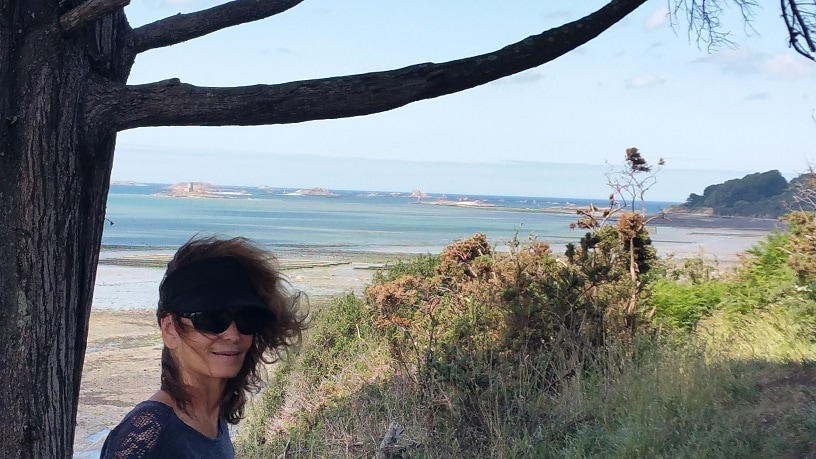
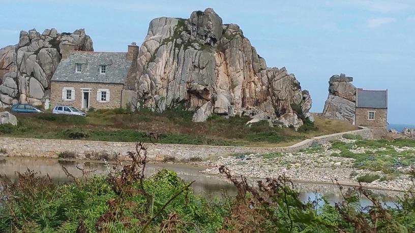
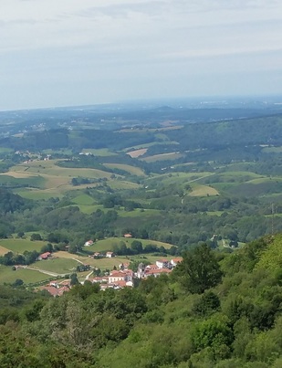
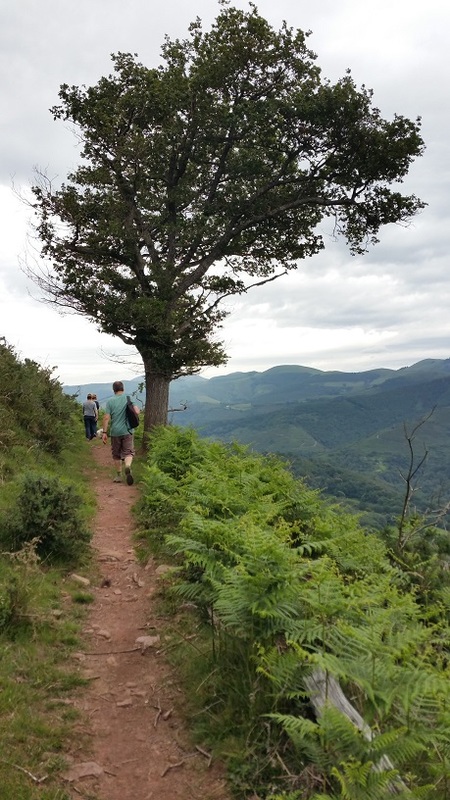
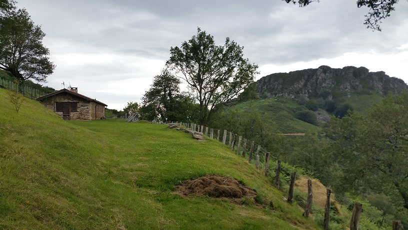
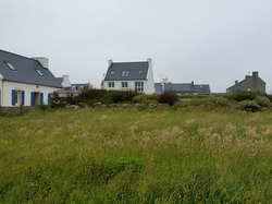
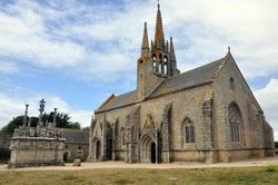
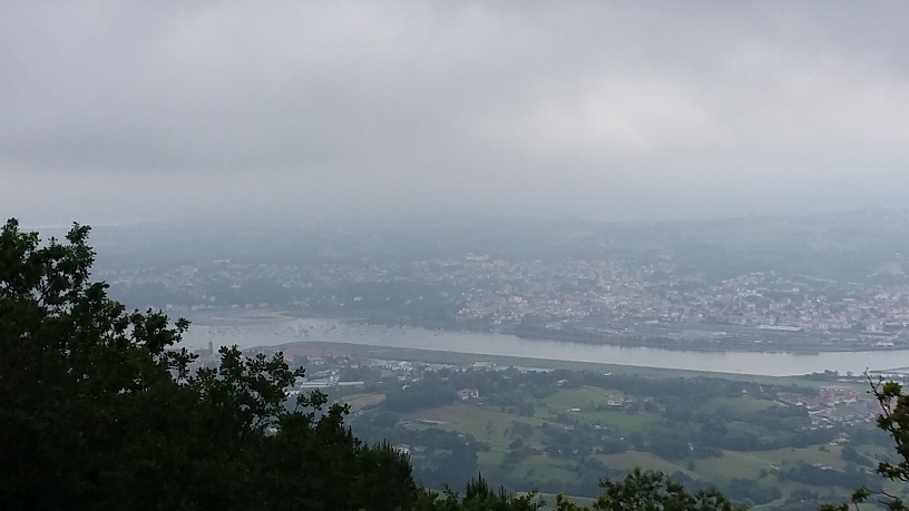
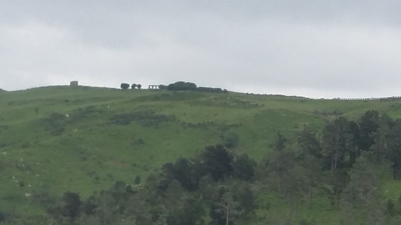
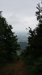
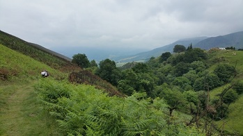
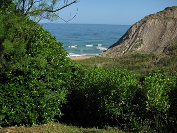
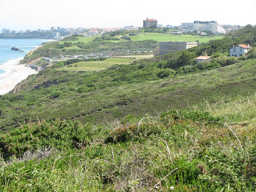
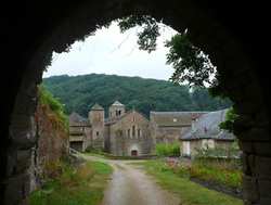
Looking inland you get occasional glimpses of the Chateau d'Abbadia along with verdant pastures sprinkled with small forests.
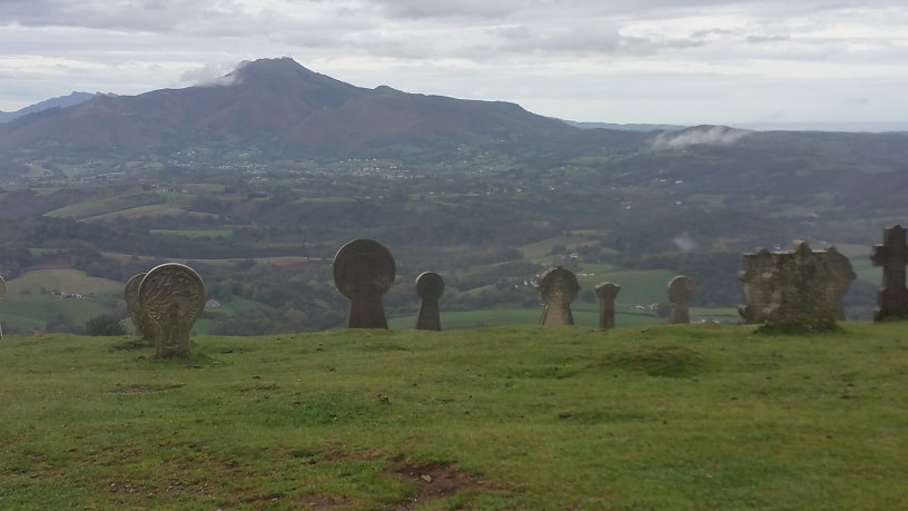
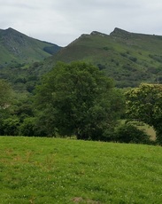
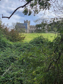 A glimpse of the Chateau d'Abbadia from the trail | 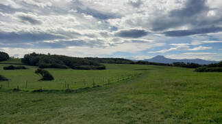 Looking inland with Les Trois Couronnes in the background. |
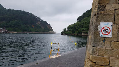
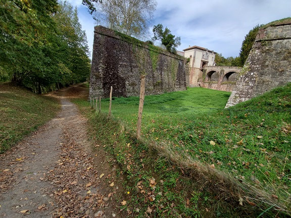
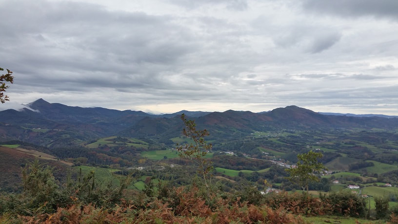
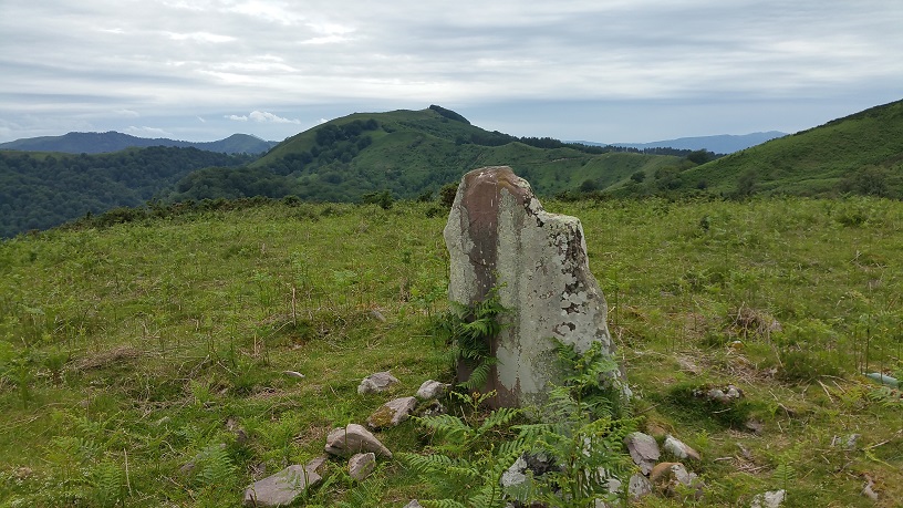
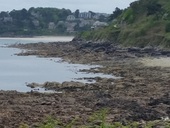
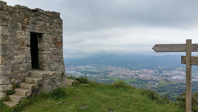
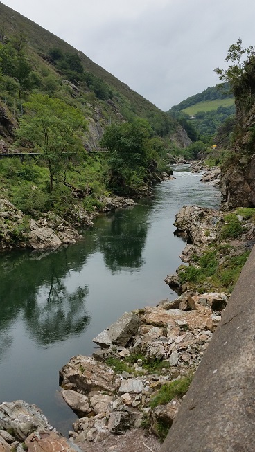
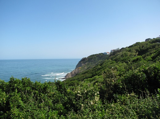
 Heading toward the Corniche
 The main trail ultimately leads to the road which runs from Socoa (near Saint Jean de Luz) to Hendaye along the Corniche, another part of the sentier littoral which while beautiful, is too close to the road for us. We decided to turn back and took alternate trails for our return.
Overall, we walked a bit less than two hours, largely because we did a fair amount of exploring and picture-taking. My guess is that the loop along the cliffs, then back along the road, would be about an hour and a half. I'll update this blog if we decide to do it before we leave.
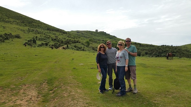
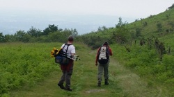
The only other people we saw on our hike were a few runners. If you're in the area and would like a non-strenuous hike, this is a great one. You can make it as long or as short as you like. I'd have to say that this is our favorite part of the Sentier Littoral.
If you like this post (and even if you didn't) please check out my novels and my new (free) novelette.
Overall, we walked a bit less than two hours, largely because we did a fair amount of exploring and picture-taking. My guess is that the loop along the cliffs, then back along the road, would be about an hour and a half. I'll update this blog if we decide to do it before we leave.
The only other people we saw on our hike were a few runners. If you're in the area and would like a non-strenuous hike, this is a great one. You can make it as long or as short as you like. I'd have to say that this is our favorite part of the Sentier Littoral.
If you like this post (and even if you didn't) please check out my novels and my new (free) novelette.


 RSS Feed