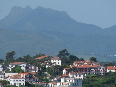
 The Trois Couronnes over Guethary
 I'm not sure that Les Trois Couronnes has the same allure for the locals who often talk about La Rhune, a nearby mountain that's about two hundred feet higher and which has historical legends of dragons and witches. But La Rhune has been tamed. There are radio towers and even a train to the top. Hikes around it are beautiful, but for me it just doesn't compare. Les Trois Couronnes is accessible only on foot and requires some endurance to reach. You don't see many people on the way up or down. It's a beautiful spot.
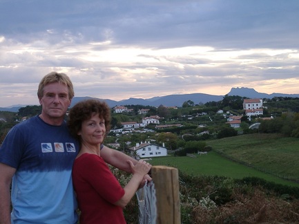 Steve and Karen with Les Trois Couronnes in the background
 peaks. Unfortunately, with Karen's hip injury, for the past several years
we were unable to revisit the mountain. But with Karen's recovery, this was one of the first things on our agenda for our spring trip this year. Of course, before tackling the climb, we wanted to be sure that Karen could hike - she'd proved herself with the Big Sur Marathon 21-mile walking race, but that was walking, not climbing on a rough trail.
So, during our first few days in the Pays Basque, we did other hikes. After successfully taking the Sentier Litorral into Saint Jean de Luz and back (about 6 miles each way), we tried a challenging hike at Biriatou. Karen had no problems so we planned on climbing Les Trois Couronnes two days later. But, as the Israeli's say, Man makes plans and God laughs.
It started raining.
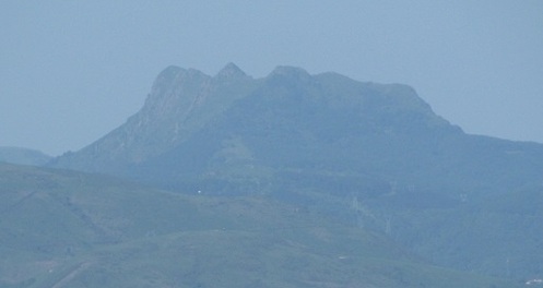
water cascading down the rocky trails and slippery slopes.
So, by the end of this trip, because of all the rain, we were disappointed that we were unable to make the hike to Les Trois Couronnes. But I keep thinking about it. The weather turned beautiful our last few days there and if not for the commitments... But surfing, walking, shopping for dinner, and even playing disc golf, the mountain seemed to insist. And now that I'm back in Santa Cruz, I need some closure, so I thought I'd write a blog about Les Trois Couronnes and I'd include pictures from previous hikes (plus a few I borrowed).
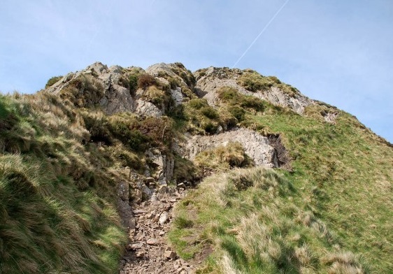
The Trois Couronnes, also known as Penas de Haya in Spanish, consists of three main peaks: Irumugarrieta at 806 meters (2644'), Txurrumurru at 826 meters (2710') and Erroilbide at 836 meters (2743'). You've got to love those Basque names. To get there you take the N-1 into Irun and then the GI-3454 into the park for about 5 miles. Half a mile or so after the road crests, you'll see a parking area on the left with large signs. This is the Col d'Elurretxe. There are several trails that wind up and around the peaks from here but unless you're planning to do some rock climbing, avoid the trail on the right. We'll probably give it a try on a nice day. To my understanding and from the pictures I've seen, this is the only way to go if you want to do a full loop as opposed to an up and back down the same trail. The climb up the rocks looks reasonable though a rope is recommended for beginners. However, the climb down the rocks is treacherous, so going in the reverse direction is not advised.
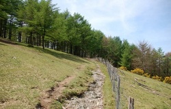 Follow the fence
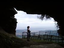
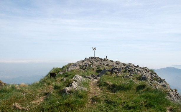
 The trail continues upwards and about 45 minutes into the climb, you'll reach the Cueva del Juncal - a cave with a shrine to the patron saint of Irun. You're actually just a few feet below the summit of Irumugarrieta.
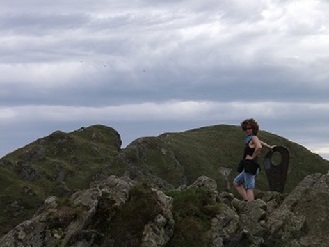 Karen with the Chillida sculpture and the next peaks in the background
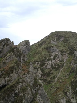
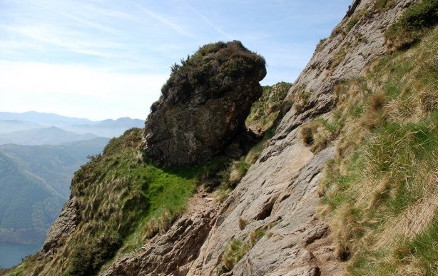
The next peak, Txurrumurru, is a 5-10 minute walk/easy climb on a spectacular trail.
Another 5-10 minutes with some more challenging climbing and you can reach the summit of Erroibide. You'll see that the 'trail' down to the other side is not easy. A rope would be nice as there is a hook in the face of the rocks. It looks much easier to climb up than to go down. Hence the reason to take the other trail from the bottom if you want to do a full loop.
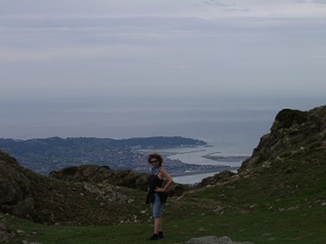
If you get to the Pays Basque, you can't help but be impressed by Les Trois Couronnes any time you look south towards Spain. As imposing as it may appear from below, Les Trois Couronnes is a truly magical place to hike.


 RSS Feed