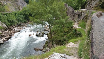
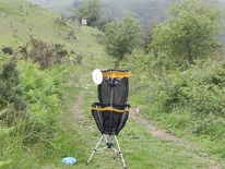
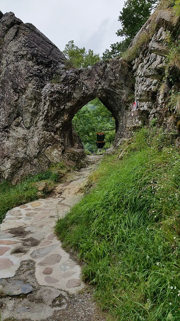
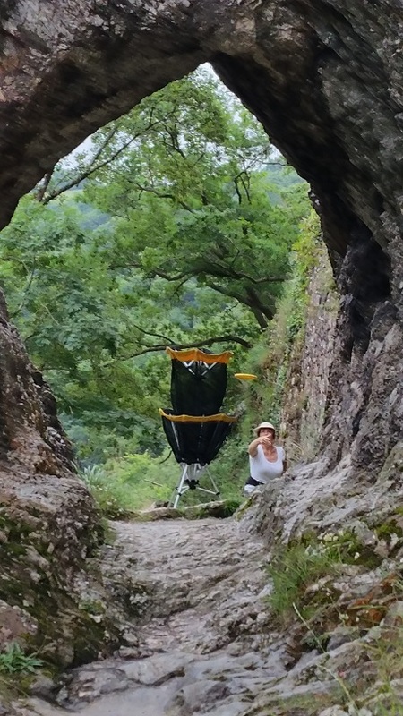
 Basket is beyond the tunnel - a bad place to miss!
 The weather was supposed to be cloudy and moderately cool (about 70), a perfect day for some exploring in the Pyrenees. It was a great plan.
And then it wasn't. As promised, Franck, Martine, Karen, and I arrived at the Mairie in Itxassou at 9am to meet Pascal. Unfortunately, he'd been called away at a work emergency and was unreachable. We had no maps, no plan, so we asked at the Mairie. They told us there was absolutely no parking on the mountain (you would be towed to Bayonne some 15 miles away)and that we'd have to park in the village and hike up. They gave us a few trail maps, and told us to park near the Fronton, so off we went.
We found the parking at the Fronton, but the maps didn't seem to correspond. Karen entered Mondarrain into Google Maps on the new phone that she loves and we started following that to the south. We followed the paved road for a mile or so then found a dirt trail leading up the mountain. I say dirt, but it was mud. We started climbing.
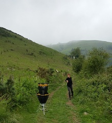
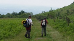 Franck carrying the basket, Martine with lunch
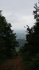
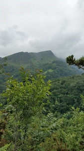
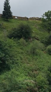
 After climbing a few hundred vertical feet in mud, we ultimately found what appeared to be a main trail and took that. The walk became easier, but it was still a steep steady climb. Most of the trail was through the forest but we had a few spectacular views of the valley below. While the weather was ideal for hiking, the pictures aren't terribly impressive on this very cloudy day.
Two hours into the hike and about two thirds of the way up the peak, we were getting tired and hungry. We finally encountered an open area where we stopped for lunch and a bit of disc golf.
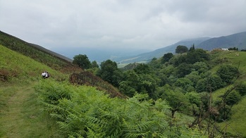 Descending the canyon towards Pas de Roland
 After our break, it's fair to admit that we weren't terribly happy with our experience so far. It had been a challenging hike and we'd found few (no) open spaces for disc golf. We'd been on a trail with barbed wire fences on both sides. We decided to give up on Mondarrain. Looking at a map the Mairie had given us, we saw what looked like a park area around a place called Pas de Roland. According to Google Maps, it was about an hour's walk.
We retraced our steps continuing past our muddy trail, and encountered a small paved road. We headed up the mountain on that road and about a quarter mile later found a spot on the side of the road where a few cars were parked. Clearly, this was the parking area for Mondarrain with marked trails leading from it up the mountain. Upon our return, I checked one of the hiking sites in the area and confirmed that this was the place to park if you want to explore Mondarrain without a very long hike. And, it appears that about half way up from there (a 10 to 15 minute walk), we might have found several places that might have been good for disc golf. Of course we didn't know that at the time so we continued onward towards Pas de Roland. A local farmer assured us we were on the right track and a few hundred yards later we turned off the road onto a beautiful trail that descended gently down the side of a canyon with running water below.
 Digitalis stalks
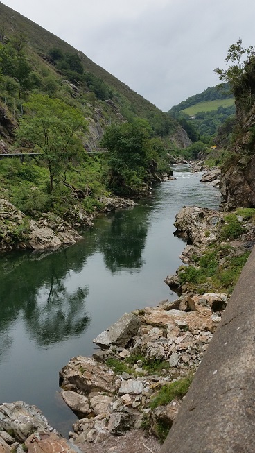
 Karen's Google Maps was accurate and we arrived at Pas de Roland in about an hour. This part of the Nive river is spectacular with grizzled rock outcroppings, white water rapids, and small cascades. Karen and I have done whitewater kayaking on this technical class 3 river a few miles above Itxassou, but this spot looked particularly inviting with more pools and drops reminiscent of a California river.
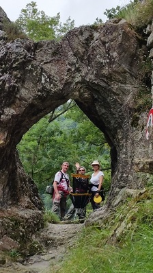
I can't help thinking that the woman at the Mairie misled us on purpose. Perhaps disc golf won't be welcome in Itxassou. Still, Itxassou is a great place to hike. The trails are beautiful and well-marked - if you start in the right place!
In all, we covered just over 8 miles and unfortunately didn't get to play much disc golf. However, we're resolved that at our next opportunity, Pascal will show us where we could have played. Only this time, he's going to carry the basket and all our bags!


 RSS Feed